Overview
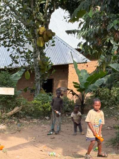
The contrast between Buhoma and Kampala is one of the more striking features of Uganda. Buhoma — where I spent time in June 2026 — is a highland village at the edge of one of Africa's great forests, quiet, agricultural, with a pace of life governed by seasons and rainfall. Kampala is a city of several million people, expanding faster than its infrastructure can absorb, with traffic that rivals any African capital. Wakiso District sits between and around Kampala: the peri-urban ring that absorbs Kampala's overspill, grows its food, houses its workers, and faces the planning challenges that rapid urbanization creates.
Wakiso is Uganda's most densely populated district outside Kampala itself. Its boundaries touch Kampala on all sides — it is the district through which you drive when leaving Kampala in any direction except northeast, where Mukono takes over. Population growth in Wakiso is driven by Kampala's expansion: people who work in the city but live outside it; industries and businesses that need land and access without the cost and congestion of the city center; refugees who settle in Greater Kampala's peri-urban fringe rather than in formal settlement areas.
The Wakiso District Development Plan IV (DDPIV) is the district's five-year planning document aligned with Uganda's National Development Plan IV. It sets targets for service delivery, infrastructure, health, education, environment, and economic development — a comprehensive framework that attempts to translate national development ambitions into local priorities, budgets, and action plans. The DDPIV data, combined with regional comparisons from Rwampara District and climate assessments from northern districts, provides a detailed picture of Uganda's sub-national development planning.
The Urban-Rural Interface
Wakiso District's defining characteristic is its position at the urban-rural interface. The district includes both densely built-up areas that are functionally continuous with Kampala's urban fabric — Entebbe municipality, Nansana, Kira, Makindye Ssabagabo, Wakiso town — and genuinely rural areas with subsistence agriculture, livestock keeping, and livelihoods that more closely resemble Uganda's rural interior than its capital.
This dual character creates planning complexity. Infrastructure investments adequate for rural communities — pit latrines, communal water points, dirt roads — are inadequate for the densely settled peri-urban areas that are growing fastest. Urban-level infrastructure — piped water, sewage treatment, tarmac roads, reliable electricity — is expensive and requires planning timescales that the rate of population growth routinely outpaces.
Flood risk is a significant planning constraint in Wakiso. The Greater Kampala Integrated Urban Development Master Plan (GKMA-IUDMP) notes that 26% of built-up areas in comparable northern districts fall in high flood-risk zones. In Wakiso, low-lying areas near Lake Victoria and its tributaries are exposed to flooding that affects housing, roads, and agricultural land. Climate change projections — temperature increases of 1.5–2.5°C by mid-century — will likely intensify these risks.
Key Sector Targets: What DDPIV Aims to Achieve
The most striking target in Wakiso's DDPIV is the infant mortality reduction: from 15 per 1,000 live births to 8 per 1,000 by FY2029/30. An infant mortality rate of 8 would put Wakiso at a level comparable to lower-middle-income countries globally — a substantial improvement from the current rate. Achieving it requires sustained investment in maternal and newborn health services, skilled birth attendance, neonatal care, and childhood immunization coverage.
Internet penetration — targeted to increase from 30% to 39% of the district population — reflects the growing importance of digital connectivity for economic opportunity. Mobile internet access enables small businesses to connect with markets, supports distance education, and facilitates financial services through mobile money. A 9-percentage-point increase over five years requires both infrastructure investment (network coverage expansion) and demand-side factors (affordability, digital skills).
The roads target — 69% of roads in good or acceptable condition rising to 83% — translates directly into economic outcomes. Roads that are passable year-round connect farms to markets, enable service delivery vehicles to reach communities, and reduce the time and cost of movement that affects every sector of the district economy. Achieving the 83% target requires systematic maintenance budgets and rehabilitation investment across the road network.
Tourism as an Economic Driver
The tourism employment target — from 5.7% to 9.2% of employment — signals Wakiso's strategic bet on tourism as an economic development pathway. Wakiso district includes Entebbe, where Uganda's main international airport is located and where the Uganda Wildlife Education Centre attracts significant visitor numbers. Proximity to Kampala and to the Ssese Islands on Lake Victoria also gives Wakiso tourism assets that nearby districts lack.
For comparison, Rwampara District in southwest Uganda — a rural district adjacent to areas like Buhoma — targets tourism infrastructure investment growth from 3% to 15% of the district budget by FY2029/30, and tourism share of employment from 5.7% to 9.2% — the same targets. Both districts are betting that tourism, properly developed and marketed, can provide the kind of formal service sector employment that will move Ugandans out of subsistence agriculture and into higher-productivity work.
The forest cover target — 30% to 55% — is the most ambitious in the DDPIV and the one most dependent on factors beyond the district's direct control. Increasing forest cover by 25 percentage points requires significant reforestation effort, enforcement of forest protection regulations, and land-use change that replaces cultivation or grazing with tree cover. It also reflects the integration of environment and development that Uganda's national development framework requires — recognizing that forest degradation undermines the agricultural productivity and water security on which the rest of the development agenda depends.
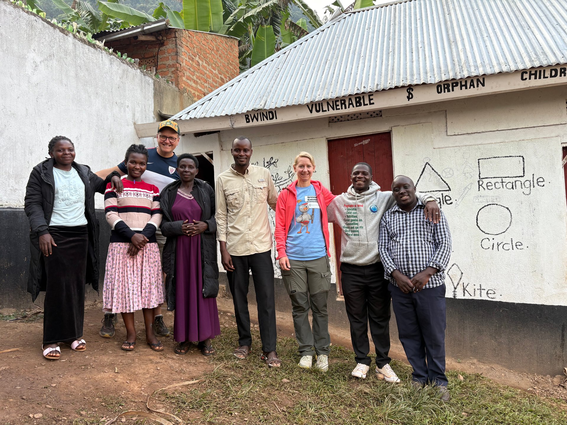
Urban Refugees in Greater Kampala
Approximately 180,000 refugees live in the Greater Kampala Metropolitan Area — around 9% of Uganda's total refugee population. Many of them live in Wakiso District's peri-urban communities, where housing costs are lower than in the city center but access to services and markets is better than in remote settlements.
Urban refugees in Wakiso face a distinctive set of challenges. Unlike settlement-based refugees who receive land and food assistance as part of the humanitarian system, urban refugees must meet their own housing and food costs from whatever income they can generate. They have the legal right to work in Uganda, but navigating the informal job market without strong local networks, documentation for formal employment, or language proficiency requires significant adaptability.
The DDPIV planning process does not specifically address the refugee population within Wakiso — it is a district plan focused on resident population service delivery — but the infrastructure investments it prioritizes (health facilities, roads, water, digital connectivity) benefit urban refugees alongside Ugandan residents. This integration of service delivery is consistent with Uganda's overall refugee policy approach, which emphasizes shared services rather than parallel refugee-only systems.
Connecting District Plans to National Vision
The DDPIV is explicitly aligned with Uganda's National Development Plan IV, which adopted five Strategic Objectives for Uganda's development through 2025: enhanced value addition, private sector investment, human capital development, sustainable urbanization, and governance and public sector management. Each district plan translates these national objectives into local priorities, budgets, and implementation schedules.
The alignment is not mechanical. Wakiso's specific priorities — infant mortality reduction, forest cover restoration, digital connectivity, tourism employment — reflect both the national framework and the district's particular development constraints and opportunities. Uganda Vision 2040, the longer-term framework projecting 2.4% annual population growth to 2040, provides the demand-side context: a rapidly growing population that needs the services and employment opportunities that the DDPIV aims to create.
From the field
Frequently asked questions
What is Wakiso District?
Wakiso District surrounds Kampala on all sides and is part of the Greater Kampala Metropolitan Area. It is Uganda's most densely populated district outside the capital, with significant urbanization pressure, peri-urban agriculture, and service sector growth driven by Kampala's expansion.
What are the key targets in the Wakiso District Development Plan IV?
Key targets include: infant mortality from 15 to 8 per 1,000; internet penetration from 30% to 39%; roads in good condition from 69% to 83%; tourism employment share from 5.7% to 9.2%; and forest cover from 30% to 55% by FY2029/30.
How does Wakiso District relate to Uganda's national development plan?
Wakiso DDPIV is aligned with Uganda's National Development Plan IV, which sets 5 Strategic Objectives. District plans translate national objectives into local priorities and budgets, with Wakiso's specific targets reflecting its urban-rural interface character and proximity to Kampala.
What is the refugee situation in the Greater Kampala area?
Greater Kampala hosts approximately 180,000 urban refugees — about 9% of Uganda's total refugee population. Many live in Wakiso District's peri-urban areas. Urban refugees must meet their own housing and food costs and face different challenges than settlement-based refugees, who receive land and food assistance.
What infrastructure challenges does Wakiso District face?
Wakiso faces rapid urbanization without matching infrastructure investment: roads overloaded by population growth, water and sanitation systems under pressure, flood risk in low-lying areas near Lake Victoria, and service delivery institutions outpaced by demand. The DDPIV road target (69%→83% in good condition) directly addresses this.